
Free classroom lesson · Grades 3–5 · 30 minutes
How do weather satellites observe storms?
Investigate how changing cloud patterns and satellite instruments help meteorologists.
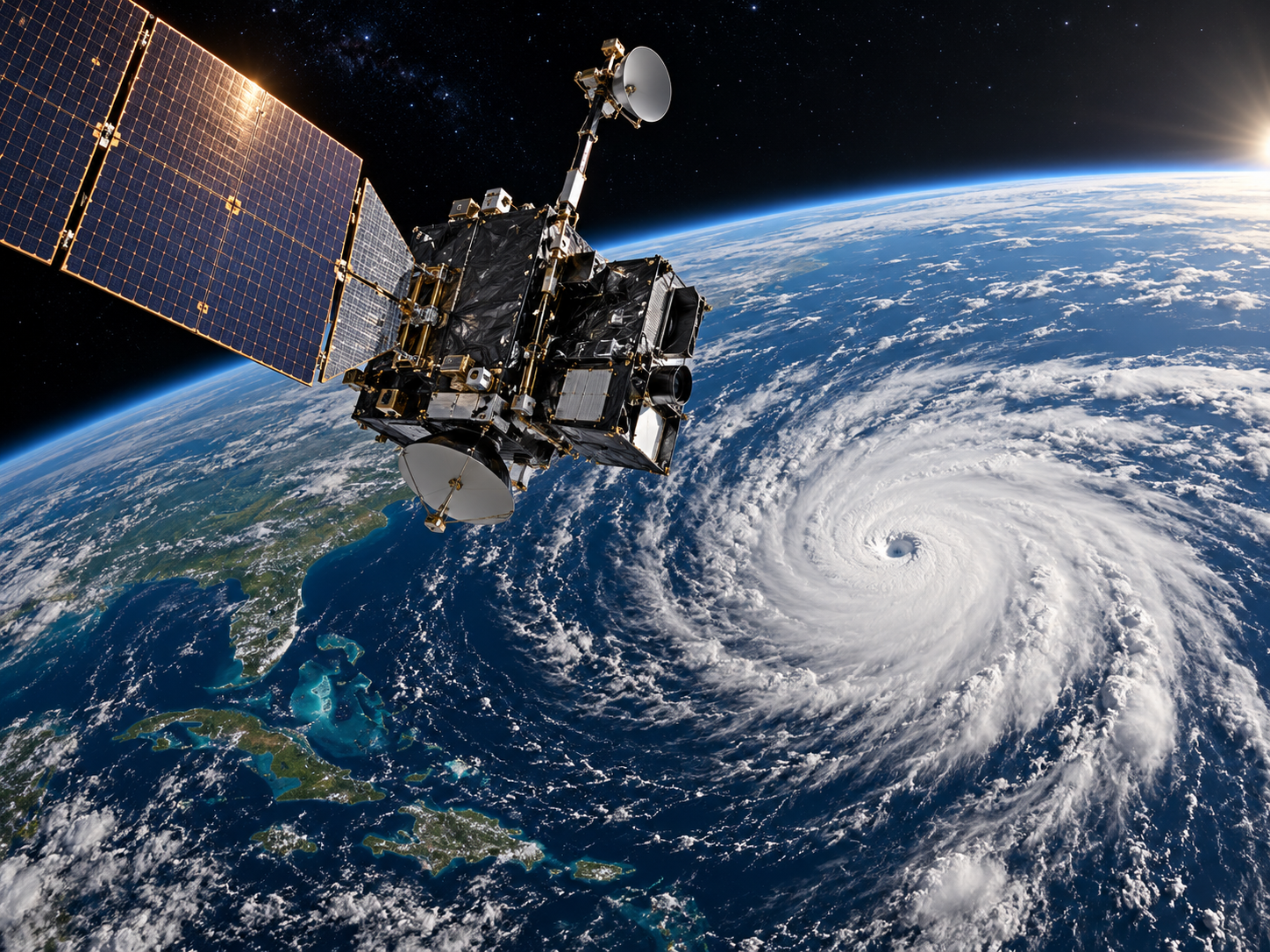
Illustrative spacecraft artwork; not a live telescope or satellite feed.
Learning objectives
- Identify visible and infrared satellite observations.
- Explain why multiple images over time are useful.
- Recognize that satellites are one of several weather forecasting tools.
Materials
- Paper and colored pencils
- Two or more teacher-selected satellite weather images
Essential question
How can a spacecraft help us understand the weather on Earth?
Explore the science
Weather satellites observe Earth from above. Some instruments detect reflected sunlight; others measure infrared radiation from clouds and the surface.
A geostationary satellite observes approximately the same part of Earth as our planet rotates. Other weather satellites travel over different parts of Earth during each orbit.
Meteorologists compare observations over time and combine them with radar, ground measurements, and computer models to make forecasts.
Investigation
- Look at two satellite weather images of the same area taken at different times.
- Draw the shapes and locations of clouds in each image.
- Circle the biggest changes you observe.
- Predict how the cloud system may move and compare your prediction with a later image.
Discuss and reflect
- Why are visible-light images harder to use at night?
- What other information would help predict rain at your school?
Self-check · No account required
Check your understanding
Why do meteorologists compare satellite images from different times?
Responses stay on this page only. No student answers are transmitted or saved.
For educational use. The activity does not save or transmit quiz answers and contains no affiliate marketing.